

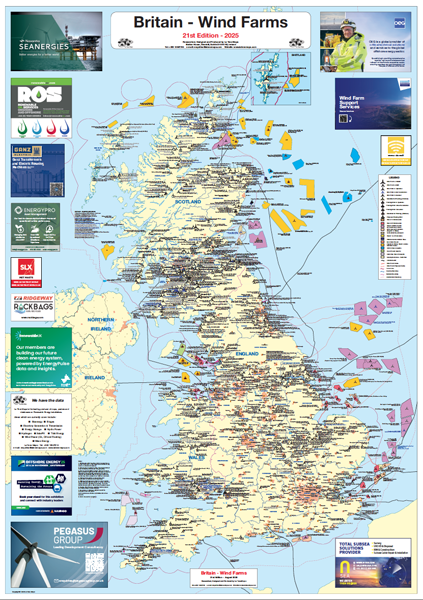
Britain – Wind Farm Map. 21st Edition, August 2025
This the 21st edition is the definitive map on British Wind Farm installations both onshore and offshore. The map shows all onshore and offshore wind farm projects in Britain. Onshore sites over 2.5MW from consented through under construction to those that are operational are shown with project name, operator/developer, generating capacity and number of turbines. These are differentiated by different coloured symbols to indicate status (consented, under construction and built. On the offshore side all Crown Estate offshore wind lease areas are shown as well as experimental sites, round extensions and areas on offer or auction areas.. The different round areas have a separate colour. Symbols over the area denote status of the offshore farm similarly to those onshore. Print Edition Digital Print Version PDF File Version
Related Products
23% Off
22% Off
22% Off
18% Off
22% Off
18% Off
16% Off
23% Off
22% Off
19% Off
18% Off
20% Off